A bit of history
My business has been producing maps for hotels, publishers and tourist boards since the late 1980s and our first published map, the Collins Illustrated London Map is still in print. Over the years we have had long and close relationships with companies like Virgin, Rough Guides, HarperCollins and Dorling Kindersley, producing maps to go in books or for standalone sale. Watercolour illustration is a strong theme, although all the maps are compiled digitally.
For 20 years our studio was near the top of Portobello Road in London, but in 2008 we moved to beautiful Dorset, from where we serve customers in several countries.
Most of the maps we’ve designed have been for sale, not given away. That’s a good discipline. For our maps to succeed, many thousands of individuals have had to choose them, like them and pay for them. It’s made us think hard and try new things – to create maps which people value.
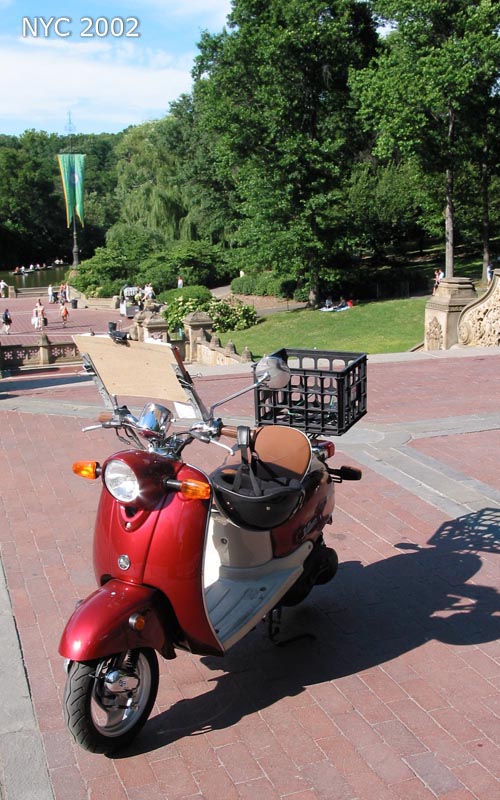
Over time we have built up detailed city mapping of many destination cities in Europe and North America. Most have been researched in great detail on the ground – on foot, on bicycle or on scooter – it’s the best fun bit of the job, I’ll admit, but it also shows through in the work.
We’re always looking for new ways of doing things and have supplied maps for websites since 1995 – but the printed map still has a positive, practical purpose of its own. It’s a guide, a tool for explaining, a notepad and a souvenir. It’s the one piece of printed marketing collateral a customer is likely to keep or pass on.
So for the time being we are concentrating on producing lovely printed maps. We do what we do best. You wouldn’t ask your butcher to deliver coffee. You wouldn’t ask a human rights lawyer to help sell your house. In the same way, making a great map is a specialist skill borne out of experience, attention to detail and love of the work.
Low overheads and established formats keep us very competitive on price, too.
Dominic Beddow


